COASTAL AND MARINE CLUSTER
The Coastal and Marine Cluster places great emphasis on the theme of intelligent monitoring, towards which we have invested in instrumentation and technology development. Efforts in this field extend also to the use and development of compound metrics for the evaluation of ecosystem condition, including Abundance-Biomass Curves (ABC) for the rapid assessment of seabed organic enrichment.

Effective marine environmental planning in Singapore requires holistic ecosystem approaches that incorporate quality datasets on physical, chemical and ecological aspects and forecasts from realistic numerical hydrodynamic and water quality modelling.We focus on directed research that leverages on integrated environmental and ecological datasets with the aim of understanding and predicting the responses of biological systems to variable environmental conditions, and to achieve a more holistic approach to environmental assessment, management and planning. This includes the development of spatially-referenced ecosystem classification schemes, predictive ecological models that take a national-level approach to marine environmental research and planning.
INLAND WATERS CLUSTER
The Inland Waters Cluster applies freshwater research through the development of assessment tools and environmetrics and applies them in ecological appraisal and prediction. Research areas include:

Design and operation of a National Biomonitoring Programme in Singapore. Protocols for quantified characteristation of habitats and biotic communities of freshwater systems. |
Translation of biological response to environmental conditions to ecological and water quality indicators, thresholds and guidelines. Establishing Ecological Standards for Aquatic Systems. |
Ecological evaluation of environmental change following habitat creation or restoration. Prediction of effects of changes in land-use and climate through environmental impact assessment and eco-hydrologic modelling. |
CLIMATE, WEATHER AND WATER RESOURCES CLUSTER
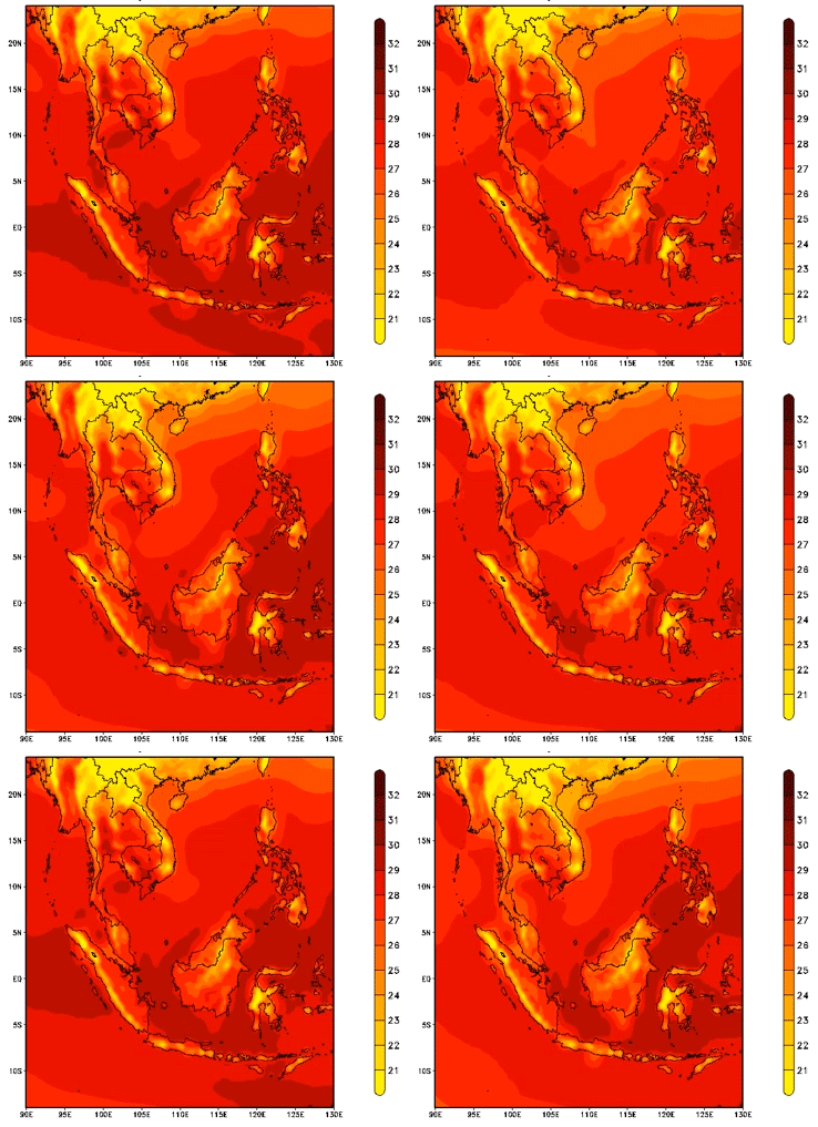
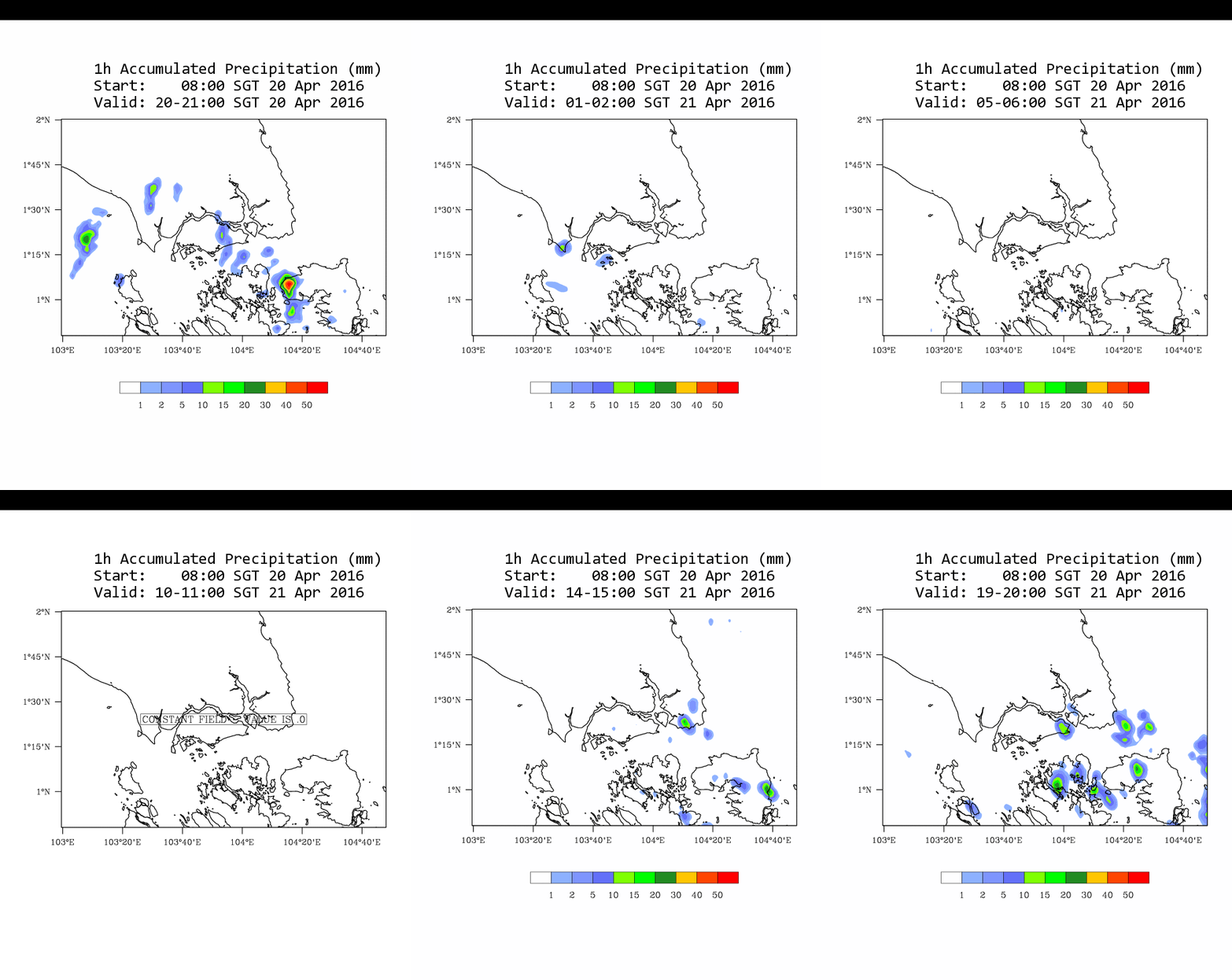
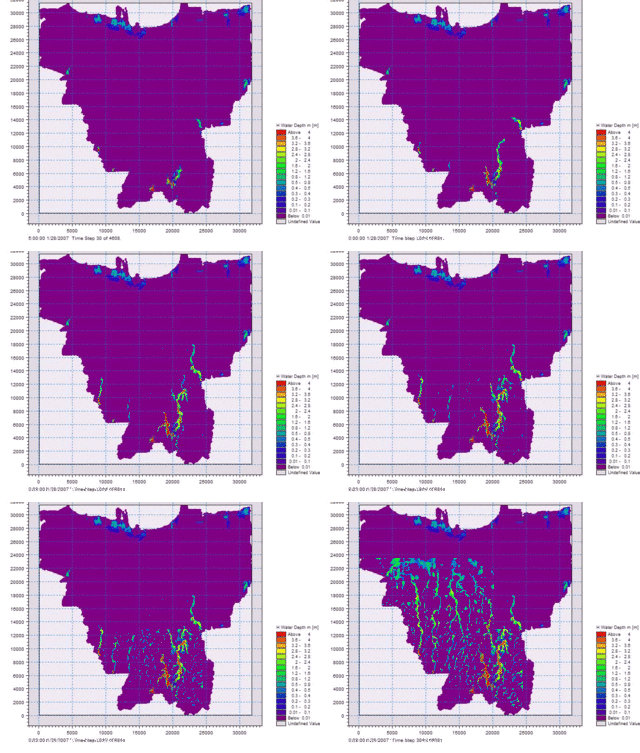
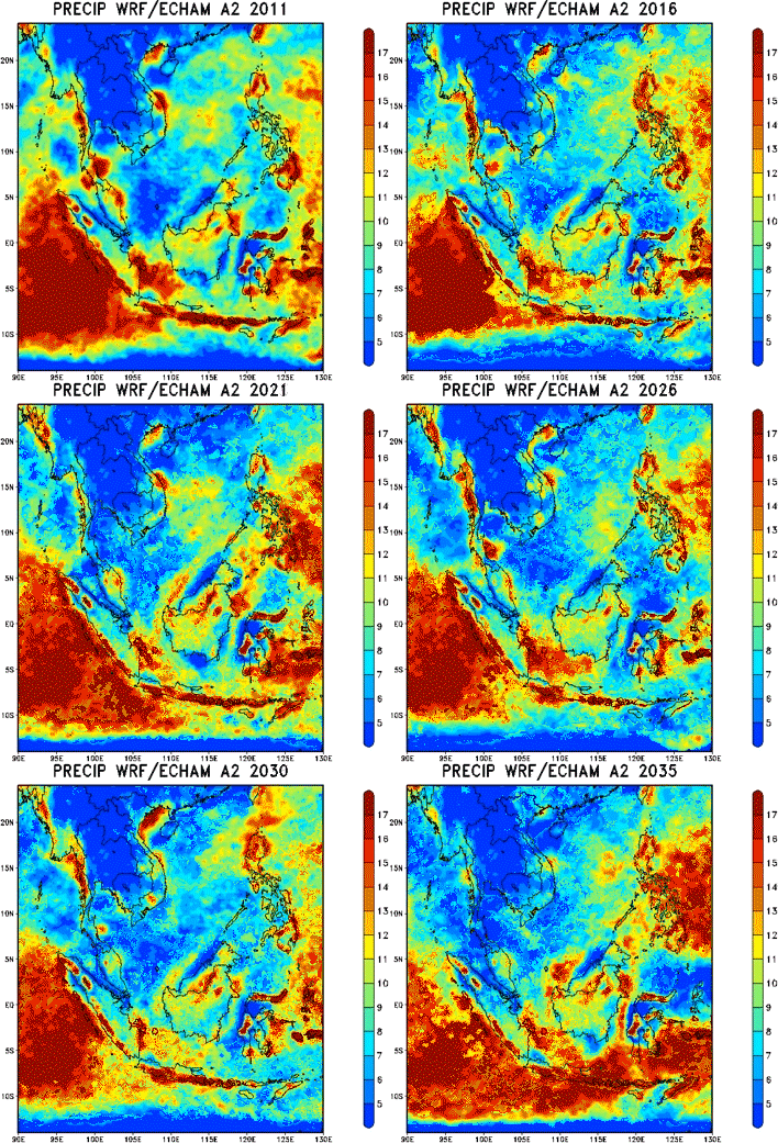
The Climate and Water resources specialize in a suite of environment related studies. The research areas also regional climate modelling (dynamical downscaling), statistical and stochastic downscaling, weather forecasting and radar nowcasting. Some climate impacts studies on hydrological and crop modelling are also done. Flood modelling, salt water intrusion, reservoir yield studies are other hydrological studies undertaken by the group.

Climate
- Regional Climate Modelling / Dynamic Downscaling.
- Statistical/Stochastic downscaling
- Climate Change projections and Impacts
- Regional Climate Mechanisms/Teleconnections
- Crop modelling/Food Security
WEATHER
- Real-Time Weather Forecasting
- Real-Time Radar Nowcasting
- Seasonal Weather Forecasting
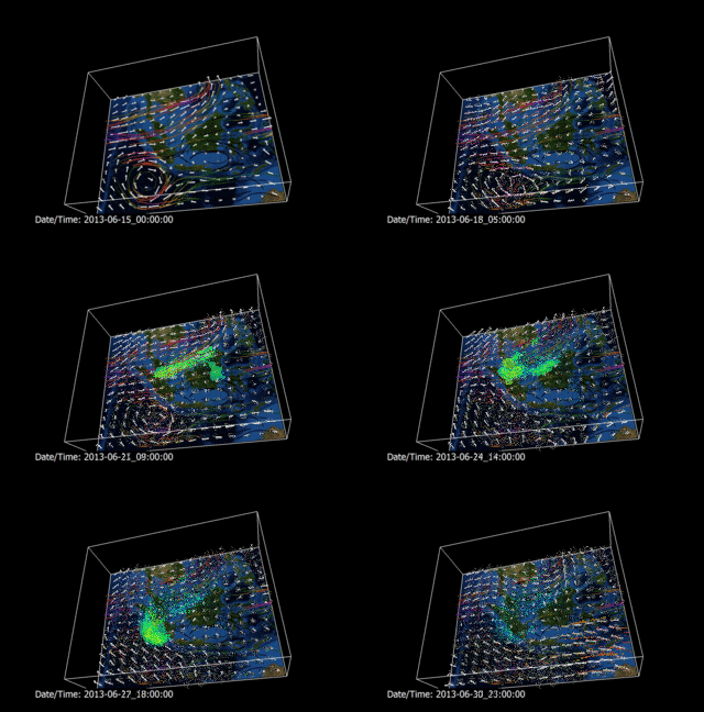
- Haze and Aerosol modelling
HYDROINFORMATICS AND WATER MANAGEMENT
- Flood Modelling/Mapping
- Real-Time Flood Forecasting
- Eco-Hydraulics Modelling
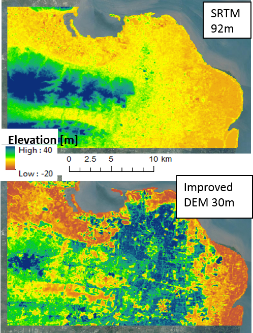
- Development of High-Accuracy and Low Cost Digital Elevation Models
- Applications of Machine Learning Techniques in Water Management
GEO INFORMATICS CLUSTER
The Geo-technology and Informatics Cluster focuses on integration of multi-dimensional data for smart database development on marine and inland ecosystems characteristics. Major efforts on risk assessment modeling towards climate change and other extreme events. Satellite photogrammetry and bio-optical modeling is the quantum research focus for terrestrial mapping as well as environmental monitoring.

Surveys,Monitoring and Analytics
1.Rapid assessments-Bioindicators.
2.Environmental Impact assessment.
Analyses of metadatasets and Experimentation
1.Species boundaries.
2.Guidelines for enviromental quality and ecological change.
3.Advisory and Consulting.
Ecological forecasting and Prediction
1.Environmental Impact Statements.
2.Ecosystem change and adaptation.
3.Restoration,rehabilitation and ecoengineering
Copyright © 2012 - 2026. Designed by EMID


